-
Educational pad. Administrative map of Poland with postcodes

Product Code:
Introducing educational pad administrative map of poland with postcodes - an extremely functional product that has been carefully crafted by Demart. With its unique EAN code - 9788379123001, it guarantees originality and authenticity.
| Enter your email |
| Reviews | |
| Ships Within | 48 hours |
| Availability |
Out of stock
 0
pcs.
0
pcs.
|
| The bar code | |
| EAN | 9788379123001 |
| Leave Your Number |
📖 Manufacturer / Distributor description for Educational pad. Administrative map of Poland with postcodes
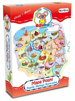
The Polish map shows the administrative and postal division of Polish in a scale of 1 : 1,900,000. In addition to digital code markings, the boundaries of districts, districts and postal codes are shown. The areas of 16 voivodeships have been marked with different colors, and the borders of poviats have been marked within them. Seats of voivodeship authorities are signed in a larger font, usually in one city, only in the case of two voivodeships: Kujawsko-Pomorskie and Lubuskie in two centers - the voivode and the voivodship assembly. Smaller descriptions indicate the seats of poviat authorities or the names of poviats not derived from the names of these cities, e.g. the eastern poviat of Łódź. Next to the map, there are three enlargements of the vicinity of Warsaw, the vicinity of Łódź and GOP in a scale of 1: 1,000,000.

🌍 Preview image of Educational pad. Administrative map of Poland with postcodes from demart
| Shipping Warehouse | Warsaw |
| Data wydania | 2020-03-03 |
| Status | JEST |
| Wydawca | Demart |
| Oprawa | Miękka |
| Format | 55,5x37 |
There is currently no comments or ratings for this product.


18.25


18.25